
Who it’s for · Heritage · Public authorities
Document today, preserve for tomorrow.
Listed buildings, municipal properties, remarkable structures: laser scanning establishes an exact reference state, to conserve, restore and pass on.
- survey accuracy
- ± 1 cm
- no contact, no scaffolding
- non-intrusive
- lasting archive, open format
- E57
- scan only, priced online
- from CHF 610
Your reality
Poorly documented heritage is heritage at risk.
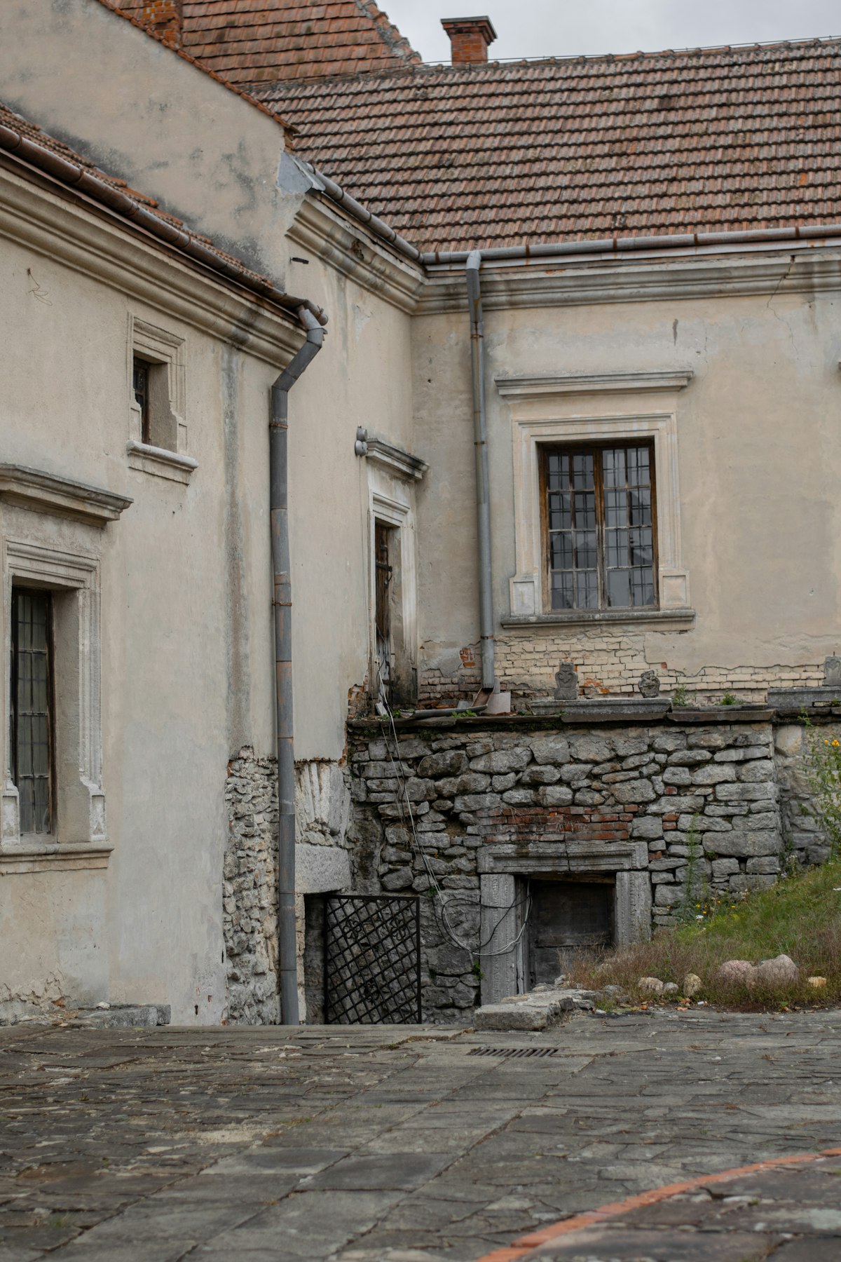
Decorative features, roof timbers, façades: what is not documented can be neither faithfully restored nor rebuilt after a disaster. Yet most old buildings have never had an exhaustive survey; at best partial drawings, often a century old.
For a municipality, every project (retrofit, code compliance, change of use) then relies on survey campaigns redone for each mandate, with nothing carried forward.
 studio bim · on site
What we bring you
Data, from your profession’s point of view.
A dated reference state
01The point cloud fixes the building at a given moment, to the centimetre: the reference for monitoring defects, preparing a restoration or documenting before works.
Without touching the fabric
02Contactless laser scanning, with no scaffolding for most façades; drone and photogrammetry for roofs and upper parts.
An archive that will outlive the software
03E57: an open format, readable today and in twenty years. Your data depends on no single vendor.
Showcase and pass on
04From the model to outreach material: sections, comparative plans, virtual tours. The survey also serves the public.
Key deliverables
What you receive.
- E57 point cloud, archived and documented
- Survey coverage report
- Plans, sections and elevations (PDF / DWG)
- Revit or ArchiCAD model, optional
- Drone photogrammetry, optional
The exact scope, in the quote
Floor area, scope, formats: configure your project and get the price and lead time in two minutes.
Typical case
Survey of a listed building before restoration
Context
A listed ensemble (chapel and outbuildings) ahead of a restoration campaign supported by the canton. No existing measured documentation.
Approach
Static scanning inside and out, drone for the roofs; complete point cloud, plans and sections extracted for the grant application.
Result
The municipality has an exhaustive reference state: the application went in with exact documents, and the archive will serve at every stage of the restoration.
- chapel + outbuildings
- 680 m²
- listed building
- 17th century
- façades, interiors, roofs
- scan + drone
- archive and grant application
- E57 + plans
Frequently asked questions
Can the scan damage fragile surfaces?
No. Laser scanning is contactless: no targets stuck on, no scaffolding needed for most of the work. We measure with light.
Are your deliverables suitable for heritage departments?
They follow the usual documentation requirements: dated state, documented accuracy, open and lasting formats. They fit into grant applications and cantonal archives.
Do we need a BIM model, or is a point cloud enough?
For archiving, the point cloud is enough: it is the exhaustive raw data. For a restoration project, the model becomes useful. The two combine, and the point cloud remains usable later on.
The other profiles
Your price, right now.
Configure your project in 2 minutes: price and lead time costed, no account, no commitment.
Questions? 022 512 15 15 · info@studiobim.ch