
Services · Laser scanning · E57 cloud · Static + mobile
Scan / survey only — An accurate point cloud, delivered ready to use.
You model in-house, or you need an exact record of the existing building? We scan your building and deliver a registered, cleaned and documented point cloud.
- priced online, no commitment
- from CHF 610
- working days, by floor area
- from 3–5 days
- scanned per team
- 400 m²/day
- point cloud accuracy
- ± 1 cm
Who it’s for
This service is for you if…
Practices that model in-house
01You know Revit or ArchiCAD: we supply the raw material, accurate and clean.
Architects and engineers
02An exact record of the existing building to test an assumption, prepare a project or check a structure.
Heritage and documentation
03Archive the state of a building at a given moment: a lasting reference for conservation.
Take-offs and expert surveys
04Measure without going back on site: the point cloud becomes your building, available remotely.
The process
Four steps, zero surprises.
Online quote
Configure your project in 2 minutes: price and lead time costed.
On-site survey
Static (Leica RTC360) and mobile scanning depending on the layout. Occupied or empty building, interiors and façades.
Registration and cleaning
Registration of the scan stations, removal of noise and stray elements, structuring of the cloud.
Delivery
E57 point cloud ready to use, with a coverage report. RCP (Autodesk) conversion as an option.
Deliverables
What you receive.
Included
- Registered and cleaned E57 point cloud
- Interiors and façades
- Scan coverage report
- Quality control by architects
Optional: on quotation
- RCP conversion (ReCap / Autodesk)
- Georeferenced 360° photos
- Drone photogrammetry (roofs, large exteriors)
- BIM modelling later on: the point cloud remains usable
Technology
The right sensor for each situation.
A static Leica RTC360 scanner for reference accuracy: every room, every façade, to the centimetre. Mobile scanning for large areas and circulation spaces, to keep lead times short without sacrificing coverage. Drone and photogrammetry for roofs and hard-to-reach exteriors.
The captures are merged into a single, consistent point cloud and checked before delivery: uniform density, complete coverage, no area left out.
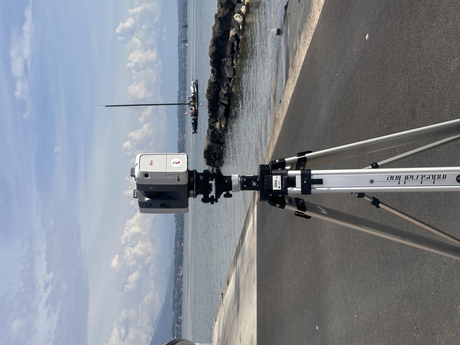 studio bim · on site
Frequently asked questions
In which format is the point cloud delivered?
E57, the open, interoperable format readable in Revit, ArchiCAD, AutoCAD, Navisworks and every other tool on the market. RCP conversion available as an option.
Do you scan exteriors and roofs?
Yes: façades with the terrestrial scanner, roofs and large footprints by drone/photogrammetry where access calls for it.
Will the file be very large?
A cleaned, structured point cloud stays manageable: we optimise density for the intended use and deliver via a secure link, split into useful sections if needed.
Can I have it modelled later?
Of course, the point cloud remains the base. If you entrust us with the modelling afterwards, the quality check of the cloud is already done.
Our other services
Your price, right now.
Configure your project in 2 minutes: price and lead time costed, no account, no commitment.
Questions? 022 512 15 15 · info@studiobim.ch