
Services · Cloud → BIM · E57 / RCP / LAS · LOD 300
Modelling only — Your point cloud becomes a BIM model.
You have already scanned, whether by a land surveyor, a drone or your own equipment. We check your point cloud, then model it into a usable Revit or ArchiCAD model.
- priced online, no commitment
- from CHF 740
- working days, by floor area
- from 3–5 days
- per modeller, team sized to the job
- 100 m²/day
- point cloud formats accepted
- E57 · RCP · LAS
Who it’s for
This service is for you if…
Partner land surveyors
01You scan, we model, white label if you wish. You keep the client relationship, we deliver the model.
Practices with their own scanner
02Your equipment captures, our modellers produce: absorb peaks in workload without hiring.
Owners with an existing point cloud
03A scan sitting on a hard drive? Turn it into a useful model before it goes out of date.
Engineering firms
04A technical model built on your own capture, MEP scope included where needed.
The process
Four steps, zero surprises.
Online quote
Configure your project in 2 minutes: price and lead time costed.
Send the point cloud
Secure transfer of your E57, RCP, LAS/LAZ or PTS file, whatever scanner it came from.
Point cloud check
Before modelling, we verify density, coverage and registration. If something is wrong, you know straight away, not at delivery.
Modelling and delivery
LOD 300 model on your template or ours, two reviews by our architects, files ready to use.
Deliverables
What you receive.
Included
- Upfront quality check of the point cloud (density, coverage, registration)
- Native Revit (.rvt) or ArchiCAD (.pln) model, version of your choice
- IFC export
- Full architecture, façades included
- Quality control by architects
Optional: on quotation
- Furniture and fit-out modelled
- MEP services (standard or complex)
- SIA 416 areas and volumes
- Plans, sections and elevations (PDF)
- AutoCAD 2D (DWG)
Upfront check
A point cloud verified before it is modelled.
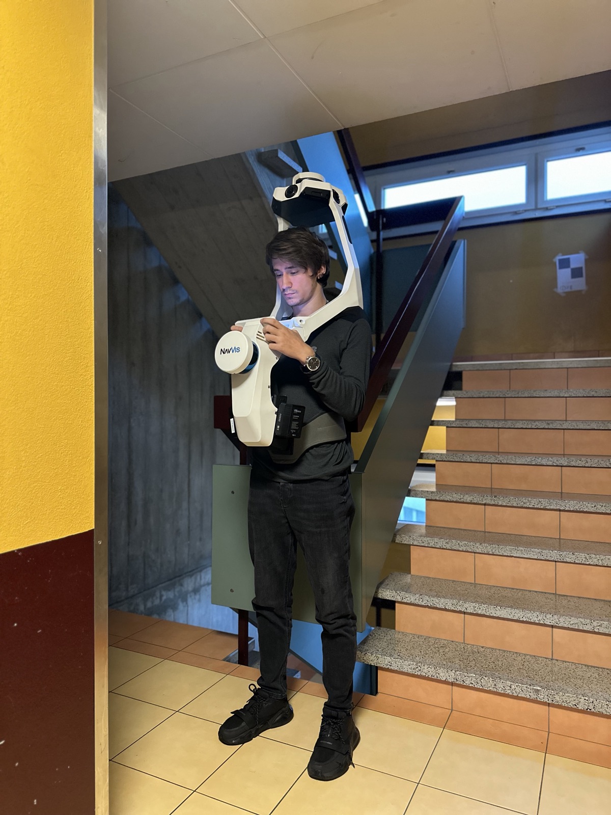
The quality of a model depends first on the quality of the point cloud. That is why every project starts with a systematic check: sufficient point density, complete coverage of the areas to be modelled, consistent registration between scan stations.
If your cloud has gaps (hidden areas, a missing storey, registration drift), we tell you before we start, with options: documented partial modelling, a complementary scan, or an adjusted scope. No unpleasant surprises at delivery.
 studio bim · on site
Frequently asked questions
Is my point cloud usable?
Send it to us: checking density, coverage and registration is part of the service. We tell you precisely what can be modelled, before you commit to anything.
Which formats do you accept?
E57 (recommended), RCP, LAS/LAZ and PTS, from any static or mobile scanner, or from drone photogrammetry if the density allows it.
Can you model on our template?
Yes, Revit or ArchiCAD. Send your template with the point cloud: families, layers and naming conventions will follow your standards.
Do you work white label?
Yes, particularly with land surveyors: you remain your client’s point of contact, we produce the model to your specification.
Our other services
Your price, right now.
Configure your project in 2 minutes: price and lead time costed, no account, no commitment.
Questions? 022 512 15 15 · info@studiobim.ch